
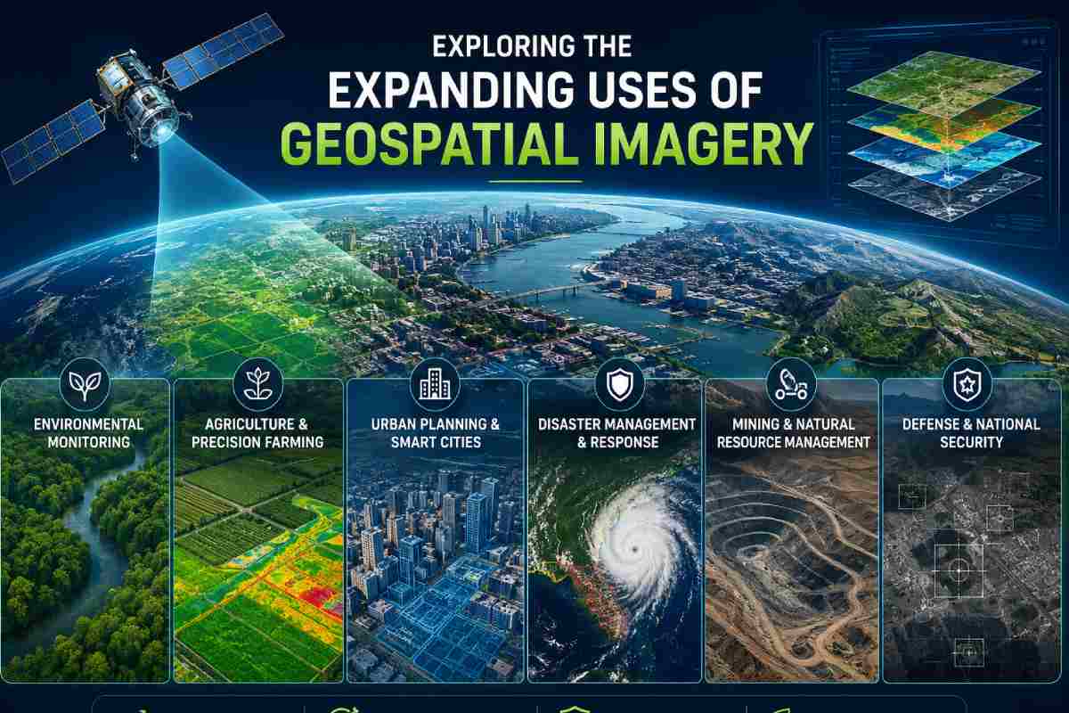
Geospatial imagery has moved far beyond its traditional uses in mapping and scientific research. Today, satellite and aerial images can support decision-making across industries ranging from agriculture and construction to insurance, logistics, and environmental management.
Improvements in satellite technology, cloud computing, and data processing have made this information easier to access and analyze. Businesses and developers can use imagery to understand physical changes, monitor locations, and add geographic context to other datasets. As access becomes more straightforward, geospatial imagery is finding its way into a wider variety of digital tools and business processes.
Table of Contents
Making Geospatial Data Easier to Access
One reason for this expansion is the development of platforms that simplify how organizations obtain Earth observation data. Instead of working separately with numerous imagery providers or relying entirely on manual processes, businesses can use technology to integrate data acquisition into existing workflows.
A geospatial imagery API can provide programmatic access to satellite and aerial imagery, helping developers connect geospatial information with applications, analytics platforms, and data pipelines. SkyFi’s API, for example, supports archive searches, new imagery tasking, recurring orders, and cloud delivery. This type of integration can make geospatial imagery more practical for organizations that need information regularly rather than for a single project.
Supporting Agriculture and Land Management
Agriculture is one of the clearest examples of how Earth observation can support real-world decision-making. Satellite imagery can provide information about vegetation and changing conditions across large areas of land. When combined with weather information, field observations, and other agricultural data, imagery can help provide a broader view of crop and land conditions. It can also allow organizations to compare locations over time without relying solely on repeated ground surveys. Similar techniques can support forestry, conservation, and other forms of land management.
Monitoring Construction and Infrastructure
Construction companies and infrastructure operators can also benefit from an overhead view. Imagery collected at different times can help reveal visible changes around development sites, transportation networks, and other physical assets. For companies responsible for numerous locations, remote monitoring can be particularly useful. Teams may be able to identify areas that require closer attention before arranging an in-person inspection.
Geospatial imagery does not replace detailed site assessments, but it can provide an additional source of information for planning and monitoring.
Understanding Environmental Change
Environmental conditions can change rapidly and affect communities, businesses, and infrastructure. Satellite imagery offers a way to observe large geographic areas, including places that may be difficult to reach on the ground.
Geospatial data can contribute to monitoring floods, wildfires, drought conditions, coastal changes, and other environmental developments. Historical imagery can be equally useful because it allows analysts to compare current conditions with those from previous months or years. These comparisons can help organizations understand patterns rather than looking at individual events in isolation.
Adding Context to Business Decisions
The commercial applications of geospatial imagery are also expanding. Property businesses can examine development around potential investments, while logistics companies may use geographic information to better understand infrastructure and conditions surrounding important routes.
Insurance companies can incorporate location-based information into broader risk assessments. Retailers and other businesses considering new locations may use imagery alongside demographic, economic, and market research to understand how an area is developing. The most useful approach is generally to combine imagery with other relevant datasets rather than treating it as a complete source of business intelligence on its own.
From Images to Actionable Information
Greater access to satellite and aerial imagery does not automatically create better decisions. Organizations still need to determine what they want to measure, how frequently they require new information, and what level of detail is appropriate. Modern geospatial platforms are making the technical side of this process more manageable. As APIs, cloud delivery, and automated workflows continue to develop, organizations have more ways to incorporate imagery into the digital systems they already use.
The result is that geospatial imagery is becoming less of a specialist resource and more of a practical data source. As businesses find new ways to connect geographic observations with everyday challenges, its range of applications is likely to continue expanding.