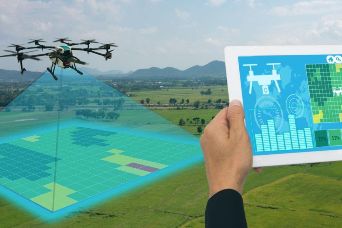
When conducting geodetic surveys using satellite navigation, two methods of measurement are actively used. In the first case, field GNSS receivers are used. In the second, flying drones are utilized. This article explains how this technology works and what equipment is needed for it.
How It Works
It is worth noting that there is a fundamental difference between using drones in other directions: general observation of a guarded area, aerial filming of events, etc., and for the needs of cartography. It lies in the different acceptable accuracy of coordinate determination.
For aerial shooting, for example, for a video report, the accuracy of position determination is of minimal importance. If a drone determines its position with an error of 1 meter based on visible satellites, it will not affect the quality of the picture from its camera.
In geodetic research and cartography, centimeter accuracy of coordinate determination is desirable. It can be obtained using precise GPS receiver systems. At the same time, centimeter accuracy can be ensured for a flying vehicle by using a base station. It is equipped with an accurate satellite receiver and is located in a fixed position on the ground.
The RTK (real-time kinematic) technology allows correcting the coordinates of the drone in flight. There is also PPK technology, which does the same in deferred mode. For most geodetic research conducted by surveyors, the speed of data processing is not as important as the accuracy of the obtained results. Therefore, PPK technology is quite effective.
What’s Needed
- An unmanned aerial vehicle compatible with RTK and PPK. Such units are supplied by various brands. At the same time, they can work with base stations of other manufacturers due to the openness of the communication protocol.
- Base station. You can purchase a base station for personal use. There are also commercial networks. Their base stations are installed in various regions of the world and can be used on a subscription basis.
- To convert the received data stream, corrected by PTK and RTK, into a map, software is required. There are dozens of software products for this. They can be conditionally free and commercial.
It is worth noting that software may be tied to a specific platform. Thus, some cartographic programs exist only in the version for personal computers, others can be launched on mobile operating systems, such as iOS or Android.
Factors such as software and hardware quality determine the cost of a base station. For instance, RTK drones that achieve centimeter accuracy require the most precise models available. This exact type of base station is necessary for large researchFunctions in an area system that operates via aircraft at speeds of up to 20 m/s. These precision models ensure that the data results are explicit and the research conducted more succinct. This will aid tremendously in the efficiency of the project, providing a more reliable maximum accurate experience in large-scale projects.
External factors also affect the accuracy of the drone’s coordinate determination. Interference created by high-rise buildings, trees, and wires reduces the quality of signal reception from satellites and base stations. This negatively affects the accuracy of positioning but is to some extent offset by the operation of RTK and PPK systems.


